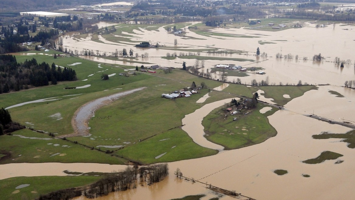
Pinnacle Peak South Area Drainage Master Study

TYLin provided the Pinnacle Peak South Area Drainage Master Study in Scottsdale, Arizona, to identify and measure the threat of potential flooding hazards.
The study area had experienced significant growth since the 1990s and with the natural flow of stormwater affecting local homes and businesses, the flood danger needed to be addressed. The scope of work included two separate hydrologic methods to model and evaluate the study area, including existing and proposed infrastructure. The eastern portion of the watershed, which covers about 18 square miles, was subjected to a HEC-1 evaluation and analysis.
The HEC-1 model was split into two parts that covered the McDowell Mountains' south and north sides, as well as the Reata Pass Wash watershed. The western portion of the watershed, which is much more distributary in nature and thus requires more detail, received a FL0-2D evaluation and analysis.
TYLin’s innovative methods included applying limiting infiltration; modified “n” values in accumulation areas (washes); a streamlined approach to hydraulic structures in series; application of mapping data to determine a watershed-wide estimate of finished floor elevations for comparison to flow depth results; and application of GIS tools to populate undeveloped areas to represent future conditions.
Completion of the Master Study led to the successful development of the Crossroads East Area Drainage Master Plan.
Project Highlights:
- A creative approach to modeling future conditions was implemented by cutting and pasting geographic information system (GIS) coverages of structures in nearby identical zonings onto undeveloped parcels while maintaining wash corridors.
- Future retention was accounted for using an increase in Initial Abstraction for the calculated 100-year, 2-hour volumes over undeveloped commercial and industrial areas.
- FLO-2D models were created efficiently using a strategic combination of ESRI ArcMAP v10.0 and Manifold v8.0 GIS software.
- Identification of flood hazards included comparing finished floor elevations of structures to model depth results and develop maps of at-risk structures.